Photo by B. Shakyaver
Environment and Climate Change Canada has issued a Snow Squall Watch for the region.
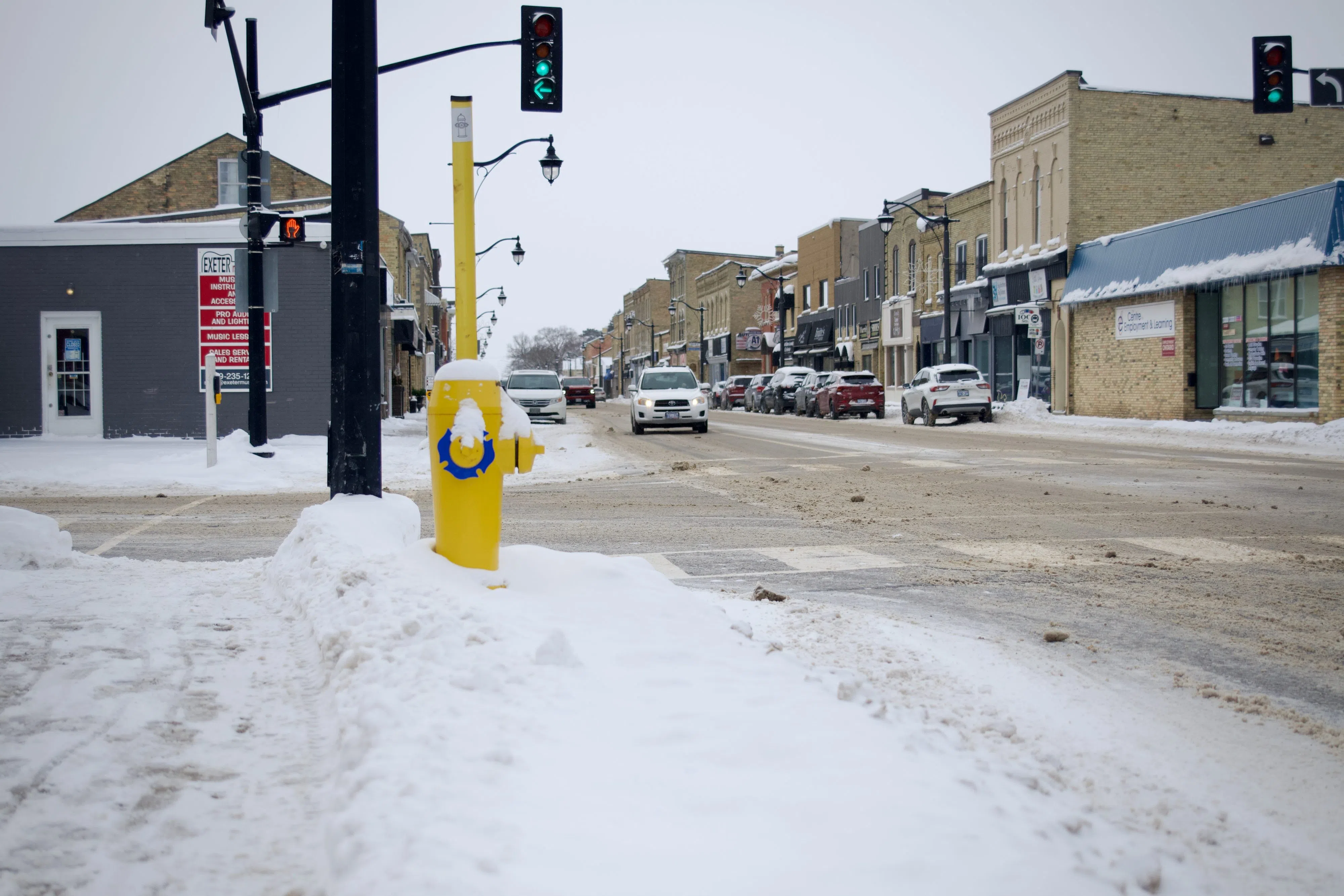
The watch, issued this morning recommends considering the postponement of non-essential travel until conditions improve.
Lake effect snow squalls are anticipated to develop this evening and persist until Sunday morning. Hazards associated with this weather event include locally heavy snowfall, with accumulations ranging from 15 to 25 cm.
In the most persistent lake effect snow bands, amounts may exceed 25 cm. Peak snowfall rates could surpass 5 cm per hour, leading to significantly reduced visibility in heavy snow.
Snow squalls are expected to taper to flurries by Sunday morning.
A weak system preceding the squalls will bring a general snowfall of 2 to 5 cm to southwestern Ontario today. Residents are urged to be cautious as visibility may suddenly be reduced, and surfaces like highways, roads, walkways, and parking lots may become challenging to navigate.
Written by: B. Shakyaver
