Photo by B. Shakyaver
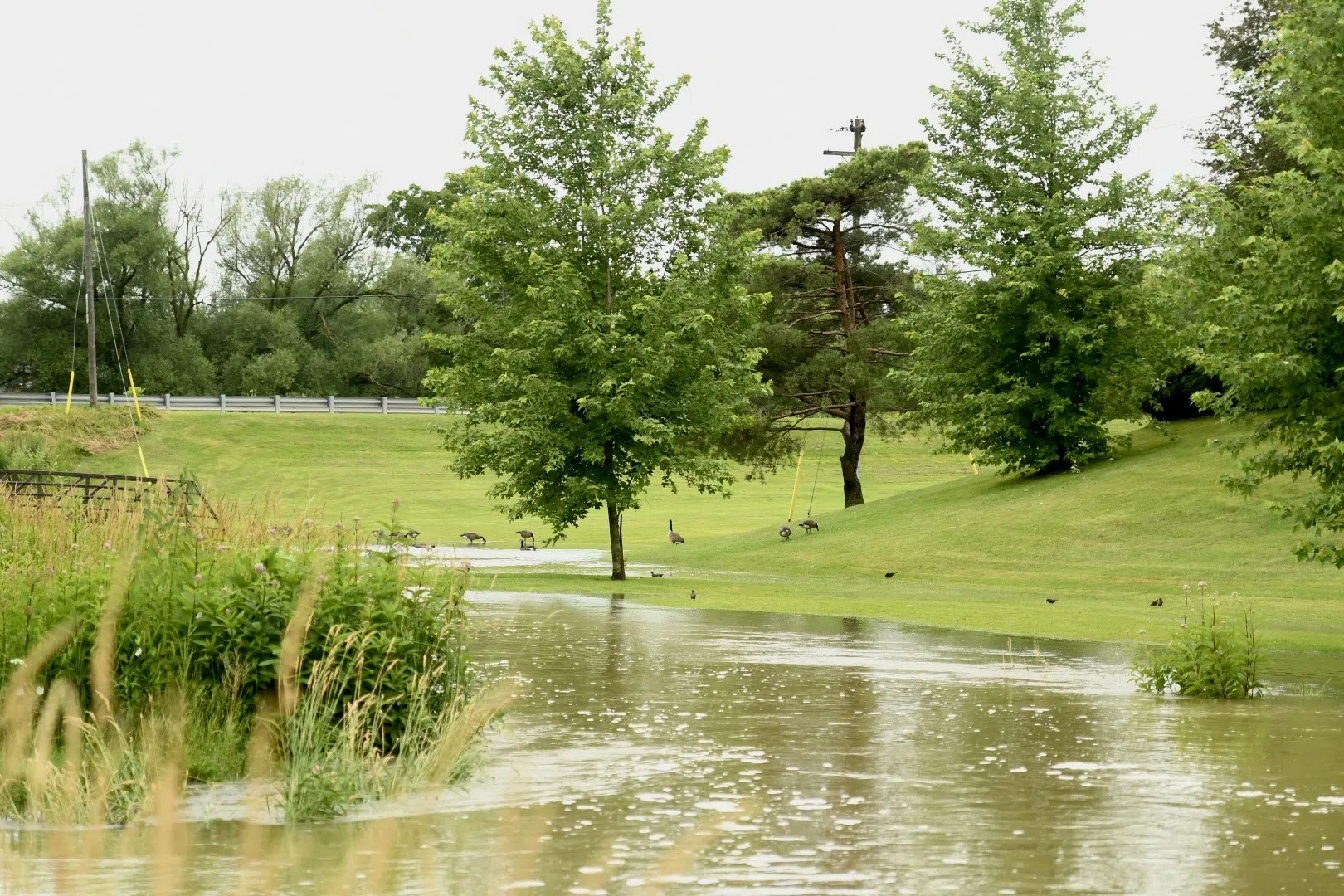
Residents in the Ausable Bayfield Conservation Authority (ABCA) watershed are being warned to stay away from rivers and streams as heavy rainfall is expected over the next few days.
A large low-pressure system moving across Southern Ontario will bring rain starting this morning. Forecasters say temperatures could reach up to 10°C overnight, with 40–50 millimetres of rain expected. Some areas could see higher amounts if thunderstorms occur.
Most of the remaining snowpack, which holds 30–50 mm of water, is expected to melt during this event. The combination of heavy rain and melting snow on already wet ground will cause very fast runoff into local rivers.
Water levels are expected to rise above riverbanks and reach into low-lying floodplain areas. Flooding may affect local roads that often experience flooding. Water levels should peak Monday and continue into Tuesday, remaining high on the larger rivers through New Year’s Day. With very little ice left on rivers, ice jams are not expected.
Municipal staff are advised to monitor drainage areas where snow may have blocked catch basins or culverts, as this could cause local flooding.
Residents are reminded to be careful near all waterways. Ice should be considered unsafe, and streambanks may be slippery or unstable, sometimes hidden by snow. Extremely cold water makes the area even more dangerous. Special attention should be given to water safety during holiday gatherings or outdoor activities.
This warning is in effect until 12:00 p.m. on Friday, January 2nd, 2026, unless conditions change. The ABCA will continue to monitor the situation and provide updates as needed.
For more information, visit www.abca.ca.
