Photo by B. Shakyaver
Warm temperatures and rain this week could lead to minor flooding in parts of the Ausable Bayfield watershed. There is also a risk of ice jams on local rivers and streams.
Environment forecasts show daytime highs above freezing, which have started to melt the snowpack. Even warmer temperatures are expected to continue through the week. Rainfall amounts of 15 to 25 millimetres are expected to begin early Wednesday morning, February 18th, and continue into the afternoon.
Recent snow survey data shows the snowpack holds between 50 and 75 millimetres of water. While the snow can absorb some rainfall, saturated ground conditions mean water could run off quickly. The amount of flooding will depend on how much rain falls and how warm temperatures become over the next few days.
River flow models suggest minor flooding is likely in low-lying, undeveloped floodplain areas. Some secondary roads that are known to flood may also be affected.
Thick ice has built up on local rivers and streams during the cold winter. As temperatures rise, this ice could break apart and create ice jams. Ice jam flooding is most common along the lower Ausable River between Ailsa Craig and Port Franks, but it has also happened on the Bayfield River. Ice movement can also damage structures located in or near the water.
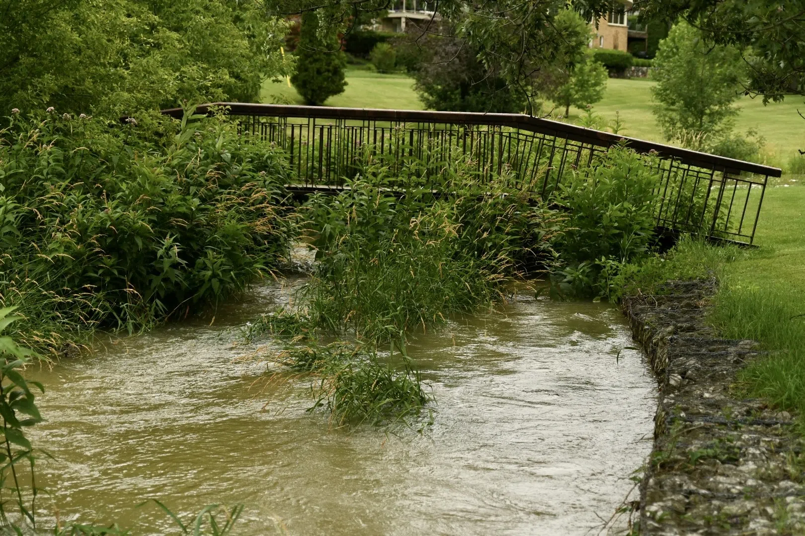
Residents are reminded to stay away from rivers, streams, and other waterways. Water levels will be higher than normal and fast-moving. Streambanks may be slippery and unstable, and water temperatures remain very cold. All ice should be considered unsafe.
This flood message remains in effect until noon on Monday, February 23rd, unless updated. The Ausable Bayfield Conservation Authority will continue to monitor conditions and provide updates as needed.